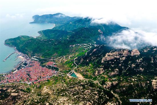
Ships berth at Xingang Harbor in Haikou, capital of south China's Hainan Province, June 21, 2015. Tropical storm Kujira strengthened into a typhoon in the South China Sea on Sunday, which is moving northward and likely to become the first typhoon to hit China this year. (Xinhua/Zhao Yingquan)
China's National Meteorological Center issued on Sunday afternoon a blue alert, the lowest level in its four-tier warning system, for Typhoon Kujira.
Typhoon Kujira, the eighth typhoon in 2015 and the first one to hit China, was formed in the South China Sea on Sunday morning, and moving northward at a speed of about 10 kilometers per hour.
Its center was located at 16.5 degrees north latitude and 111.3 degrees east longitude, or 120 km southwest of China's Yongxing Island, by 5:00 p.m. Sunday.
Kujira will sweep waters around Xisha Islands and Hainan Island before landing between Wanning in southeastern Hainan Province and Zhanjiang in southern Guangdong Province on Monday night, downpours and strong winds expected.
The typhoon will be weakened gradually after the landing.
Meteorologists warned ships against passing through typhoon-affected areas in the sea.
However, the rainfall will be welcome in easing the most severe drought in Hainan since 1959. It has affected 30 percent of the tropical island.
Hot and dry weather has dominated the region since May, as the weather department has hoisted an orange drought alert, the second-most severe alert. Cities including the beach resort Sanya have to open new deep wells for drinking water.
China has a four-tier color-coded weather warning system, with red representing the most severe warning, followed by orange, yellow and blue.


