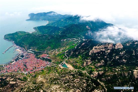
Clouds fly above Taipei, southeast China's Taiwan, as Typhoon Malakas is approaching the east coast of Taiwan, Sept. 17, 2016. (Photo: Xinhua/Song Zhenping)
Marine forecasting authorities on Saturday gave an orange alert for waves and storms, as Typhoon Malakas skirted Taiwan and moved to the east coast of the Chinese mainland.
Malakas, the 16th typhoon in 2016, has entered the southern part of the East China Sea on Saturday afternoon, China's National Marine Environmental Forecasting Center said.
The typhoon is expected to whip up waves from seven to 12 meters-high off Taiwan's east coast, southern and central parts of the East China Sea, and the nearby Diaoyu Islands from Saturday to Sunday. Waves up to 4.4 meters-high are also expected in the coastal regions of Zhejiang and Fujian provinces, said the center.
Coastal regions in Fujian and Zhejiang will see storms and rain starting Saturday night, and residents and ships operating in related waters were told to stay clear of those areas, according to the center.
Typhoon Malakas comes hot on the heels of Typhoon Meranti, which has left at least 28 people dead and another 15 missing in eastern regions of China since it landed in Fujian Thursday morning.
China has a four-tier color-coded warning system for severe weather, with red being the most serious, followed by orange, yellow and blue.


