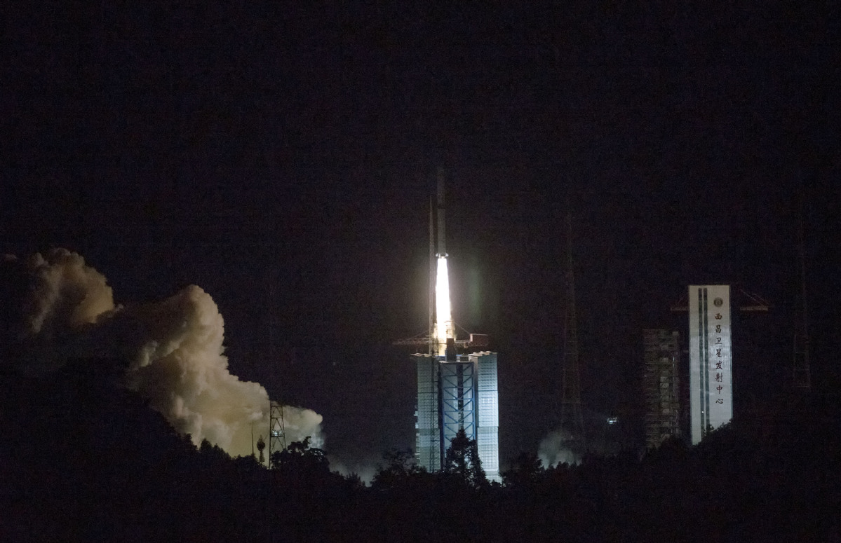
(ECNS) -- China's domestic Beidou Navigation Satellite System will start serving countries along the Belt and Road by the end of 2018, the Beijing News reported.
China plans to launch 18 Beidou-3 satellites into space this year to gradually improve the satellite navigation system in preparation to serve Belt and Road countries and regions.
Proposed by Xi Jinping in 2013, the Belt and Road Initiative aims to build a trade and infrastructure network connecting Asia with Europe and Africa along and beyond the ancient Silk Road trade routes. It comprises the Silk Road Economic Belt and the 21st Century Maritime Silk Road.
By around 2020, when the Beidou system goes global, it will have more than 30 satellites. As a space infrastructure of national significance, the system will provide all-time, all-weather and high-accuracy positioning, navigation and timing services to global users.
According to a white paper released on Friday, China’s satellite navigation and positioning service industry was worth 255 billion yuan ($40 billion), a year-on-year growth of 20.4 percent. Beidou was estimated to contribute 80 percent of the output value in the industry.
Li Donghang, director of the consulting center of the GNSS&LBS Association of China, said Beidou will certainly outperform GPS in the future because the homegrown system offers much better localized service.
In the past five years, Beidou has been widely applied in more than 10 sectors, including transportation, power supply and meteorology. In the coal-to-gas project in the Beijing-Tianjin-Hebei areas in 2017, Beidou was extensively used for navigation in building gas pipelines.


