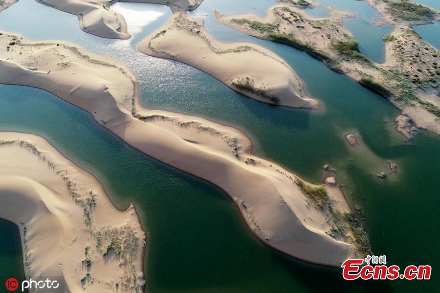
An aerial view of Wuhai Lake in Wuhai City, Northwest China’s Inner Mongolia Autonomous Region, Sept. 17, 2019. Wuhai Lake, covering an area of 118 square kilometers, was formed as part of the Yellow River Haibowan Water Control Project in Wuhai City, and it is known for its sand dunes surrounded by water. (Photo/ICphoto)
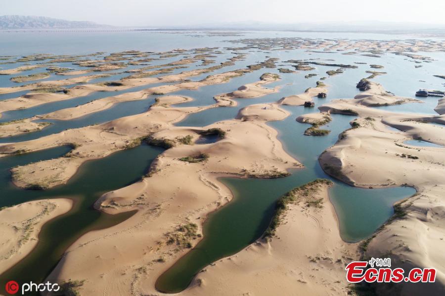
An aerial view of Wuhai Lake in Wuhai City, Northwest China’s Inner Mongolia Autonomous Region, Sept. 17, 2019. Wuhai Lake, covering an area of 118 square kilometers, was formed as part of the Yellow River Haibowan Water Control Project in Wuhai City, and it is known for its sand dunes surrounded by water. (Photo/ICphoto)
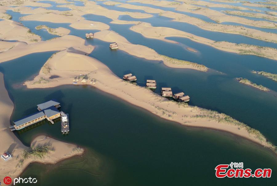
An aerial view of Wuhai Lake in Wuhai City, Northwest China’s Inner Mongolia Autonomous Region, Sept. 17, 2019. Wuhai Lake, covering an area of 118 square kilometers, was formed as part of the Yellow River Haibowan Water Control Project in Wuhai City, and it is known for its sand dunes surrounded by water. (Photo/ICphoto)


