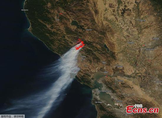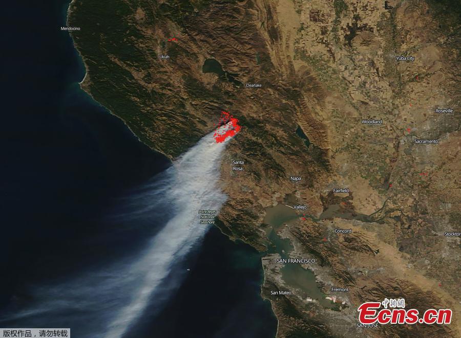
This NASA photo obtained October 29, 2019 from NASA's Terra satellite shows the smoke plume cascading down the coast from California's devastating Kincaid Fire located in Sonoma County which has grown to over 66,000 acres. The fire is located northeast of Geyserville and is classified as a "vegetation fire" and its origins are still under investigation. California's governor declared a statewide emergency on October 27, 2019 as a wind-driven fire in the Sonoma wine region north of San Francisco spread out of control, forcing tens of thousands to flee. (Photo/Agencies)
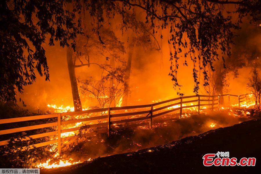
A wind-driven fire burns along Faught Road during the Kincade fire in Windsor, California on October 27, 2019. California's governor declared a state-wide emergency on October 27 as a huge wind-fueled blaze forced evacuations and massive power blackouts, threatening towns in the famed Sonoma wine region. (Photo/Agencies)
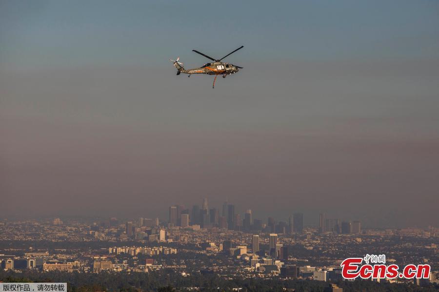
A rescue helicopter flies over Brentwood while the Los Angeles skyline is seen behind smoke from the Getty Fire as seen from Brentwood, California, on October 28, 2019. More than 1,000 firefighters battled a wind-driven blaze on October 28 that broke out near the renowned Getty Center in Los Angeles, prompting widespread evacuations as the flames destroyed several homes and forced the shutdown of schools and roads. (Photo/Agencies)
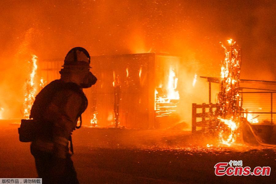
Firefighters battle a wind-driven fire burning structures on a farm during the Kincade fire in Windsor, California on October 27, 2019. California's governor declared a state-wide emergency on October 27 as a huge wind-fueled blaze forced evacuations and massive power blackouts, threatening towns in the famed Sonoma wine region. (Photo/Agencies)


