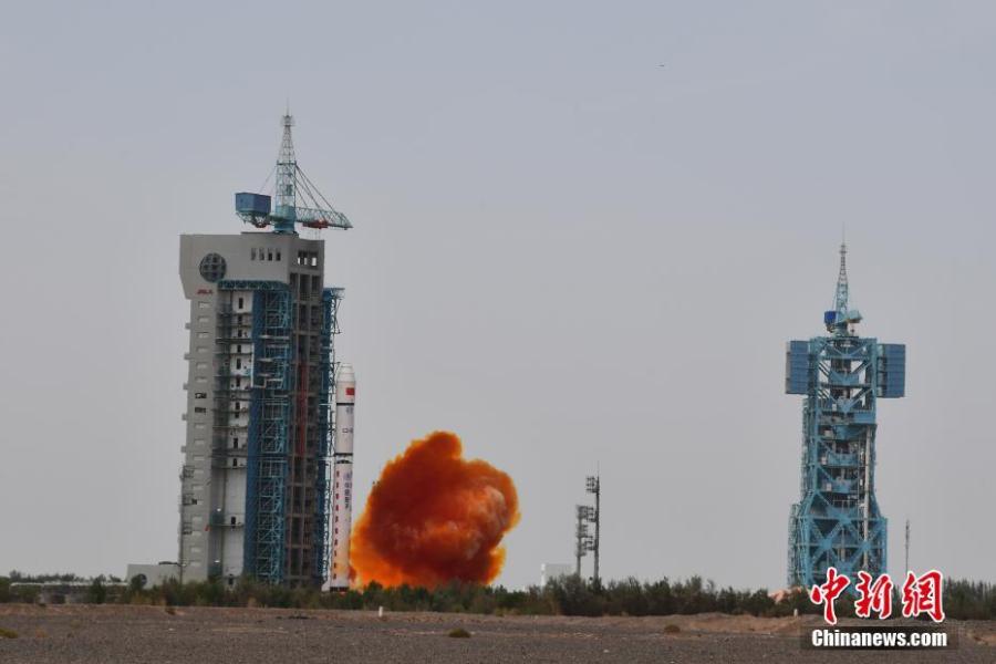
The satellite, Gaofen 9 04, is sent into orbit by a Long March 2D carrier rocket from the Jiuquan Satellite Launch Center in Northwest China, Aug 6, 2020. The satellite will be mainly used for land surveys, city planning, land right confirmation, road network design, crop yield estimation and disaster prevention and mitigation. It will also provide information for the development of the Belt and Road Initiative. (Photo: China News Service/ Wang Jiangbo)
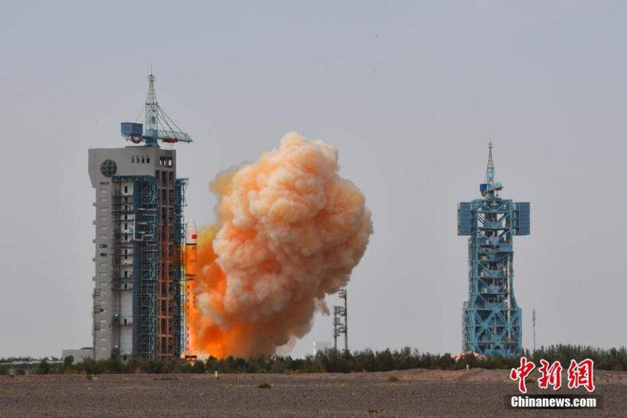
The satellite, Gaofen 9 04, is sent into orbit by a Long March 2D carrier rocket from the Jiuquan Satellite Launch Center in Northwest China, Aug 6, 2020. The satellite will be mainly used for land surveys, city planning, land right confirmation, road network design, crop yield estimation and disaster prevention and mitigation. It will also provide information for the development of the Belt and Road Initiative. (Photo: China News Service/ Wang Jiangbo)
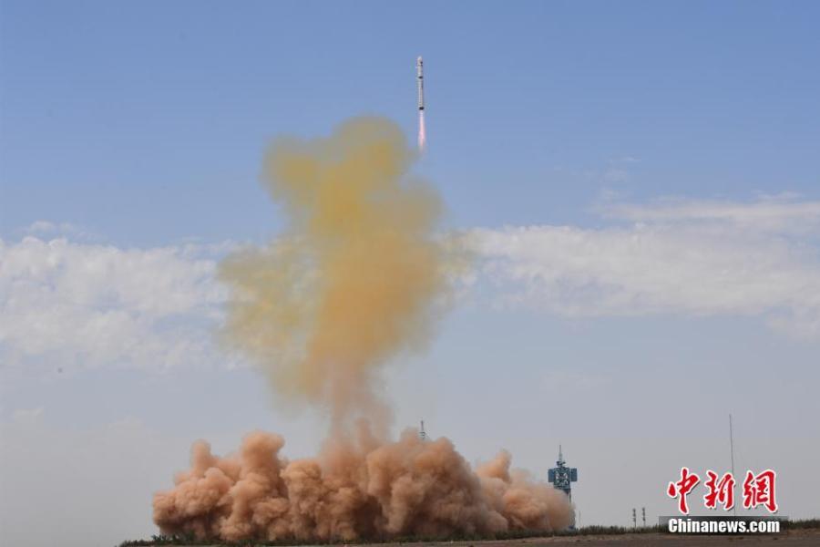
The satellite, Gaofen 9 04, is sent into orbit by a Long March 2D carrier rocket from the Jiuquan Satellite Launch Center in Northwest China, Aug 6, 2020. The satellite will be mainly used for land surveys, city planning, land right confirmation, road network design, crop yield estimation and disaster prevention and mitigation. It will also provide information for the development of the Belt and Road Initiative. (Photo: China News Service/ Wang Jiangbo)
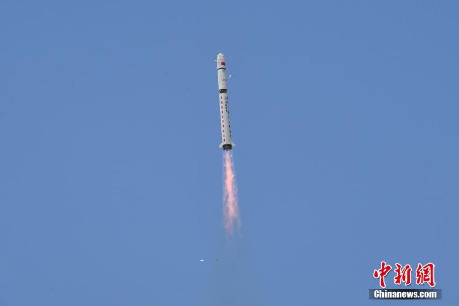
The satellite, Gaofen 9 04, is sent into orbit by a Long March 2D carrier rocket from the Jiuquan Satellite Launch Center in Northwest China, Aug 6, 2020. The satellite will be mainly used for land surveys, city planning, land right confirmation, road network design, crop yield estimation and disaster prevention and mitigation. It will also provide information for the development of the Belt and Road Initiative. (Photo: China News Service/ Wang Jiangbo)


