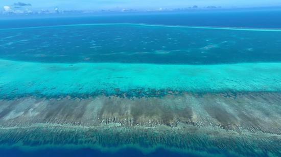
China submits baseline charts of Huangyan Dao territorial waters to UN
(ECNS) -- Geng Shuang, China’s deputy permanent representative to the United Nations, officially submitted the Statement of the Government of the People's Republic of China on the Baselines of the Territorial Sea Adjacent to Huangyan Dao and the related Chart to Mr. Stephen D. Mathias, acting under-secretary-general for legal affairs of the United Nations and UN Legal Counsel, on Monday.
The statement and charts will be made available on the United Nations website.
Huangyan Dao has always been China’s territory. On Nov. 10, in accordance with international laws, such as the United Nations Convention on the Law of the Sea (UNCLOS), and the Law of the People’s Republic of China on the Territorial Sea and the Contiguous Zone, the Chinese government delimited and announced the baselines of the territorial sea adjacent to Huangyan Dao, a Chinese foreign Ministry spokesperson said.
This is a natural step by the Chinese government to lawfully strengthen marine management and is consistent with international law and common practices, the spokesperson added.
In accordance with UNCLOS, coastal states are required to submit copies of their territorial sea baselines, along with relevant charts or geographic coordinates, to UN Secretary-General.
The submission not only reflects China’s commitment to fulfilling its obligations under the UNCLOS, but also reinforces its rightful stance in defending its own territorial sovereignty and maritime interests.

