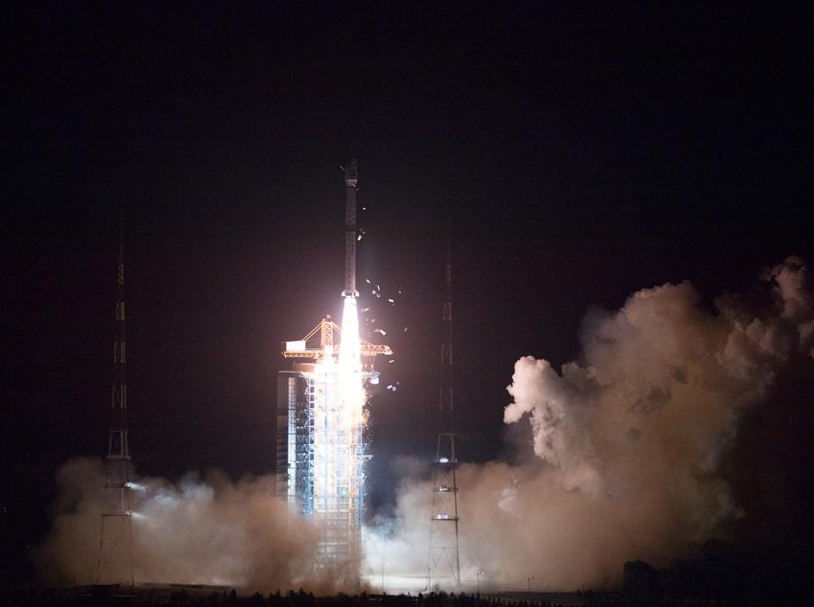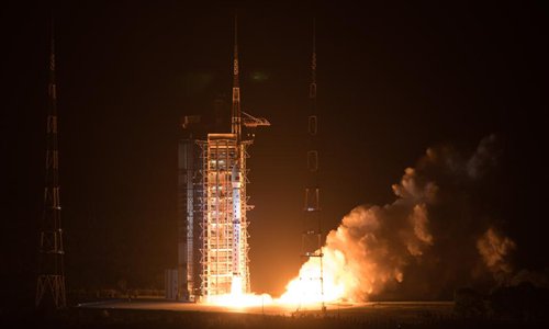
Photo taken on May 9, 2018 shows the Gaofen-5 satellite being launched off the back of a Long March 4C rocket at 2:28 am Beijing Time from the Taiyuan Satellite Launch Center in northern Shanxi Province. China on Wednesday launched Gaofen-5, a hyperspectral imaging satellite, as part of the country's high-resolution Earth observation project. (Xinhua/Jin Liwang)
China launched on Wednesday Gaofen-5, the world's first hyper-spectral satellite, to monitor air and land, a move that would give China a more comprehensive insight into the atmospheric environment, an expert said.
The Gaofen-5 was launched at the Taiyuan Satellite Launch Center on Wednesday at 2:28 am Beijing Time via a Long March 4C carrier rocket.
The satellite, developed by the China Aerospace Science and Technology Corporation, is China's first hyper-spectral imaging satellite that can monitor air and water pollution, survey geological resources and analyze climate changes, according to an official statement from the company website.
The successful launch of Gaofen-5 will also free China from depending on foreign hyper-spectral remote sensing data, the statement said.
The Gaofen-5, with a designed lifespan of eight years, is equipped with six state-of-the-art observation payloads that would provide the most comprehensive observation data compared to other Chinese remote sensing satellites, Li Zhengqiang, an expert at the Chinese Academy of Sciences' Institute of Remote Sensing and Digital Earth, told the Global Times on Wednesday.
"The observation capabilities of previous Chinese environmental observation satellites were not as comprehensive as the Gaofen-5's. The Gaofen-5 has more sensors, especially those monitoring the air," Li said, who is enthusiastic about Gaofen-5's potential to monitor greenhouse gases, contaminated gases and harmful particles that cause smog.
"Gaofen-5 proves the technology has matured. Loaded with multiple hyper-spectral sensors, the technology can now monitor the atmosphere, water and Earth's surface," Li said.
China will launch its follow-up model, the Gaofen-6, later this year to form a network with other Gaofen satellites, the Xinhua News Agency reported.
Data gathered by Gaofen satellites are being widely used in more than 20 fields and 30 provinces, China News Service reported.
It also contributes to international cooperation by laying the foundation to the Belt and Road initiative's space and information programs, according to the report.


