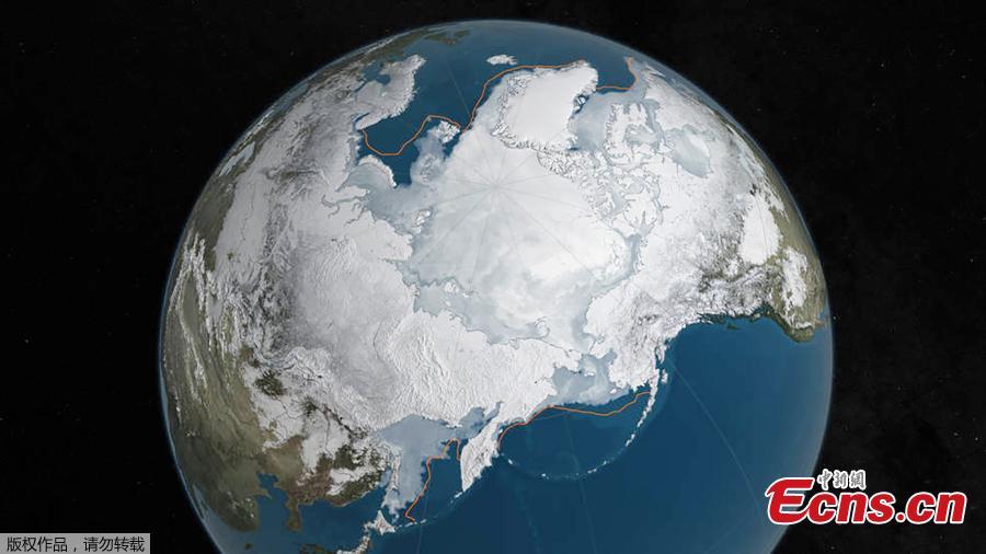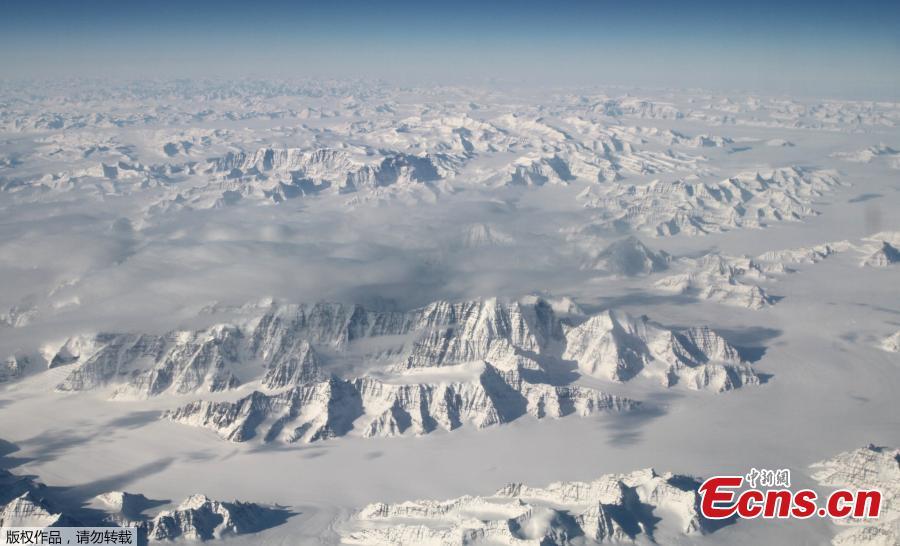
An undated NASA illustration shows Arctic sea ice at a record low wintertime maximum extent for the second straight year, according to scientists at the NASA-supported National Snow and Ice Data Center (NSIDC) and NASA. At 5.607 million square miles (14.52 million square kilometers), the Arctic sea ice is the lowest maximum extent in the satellite record, and 431,000 square miles (1,116,284 square kilometers) below the 1981 to 2010 average maximum extent, according to NASA. (Photo/Agencies)


