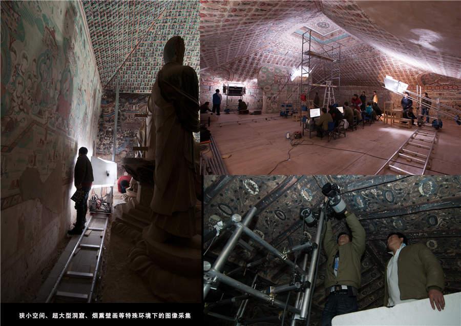
Cameramen use scaffolding to capture the images on the irregular shaped roof (Photo provided to China Daily)
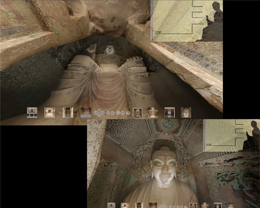
Since the end of last month it has been possible for people around the world to watch online 3-D views of the caves, and virtual reality devices can be used to view the images.
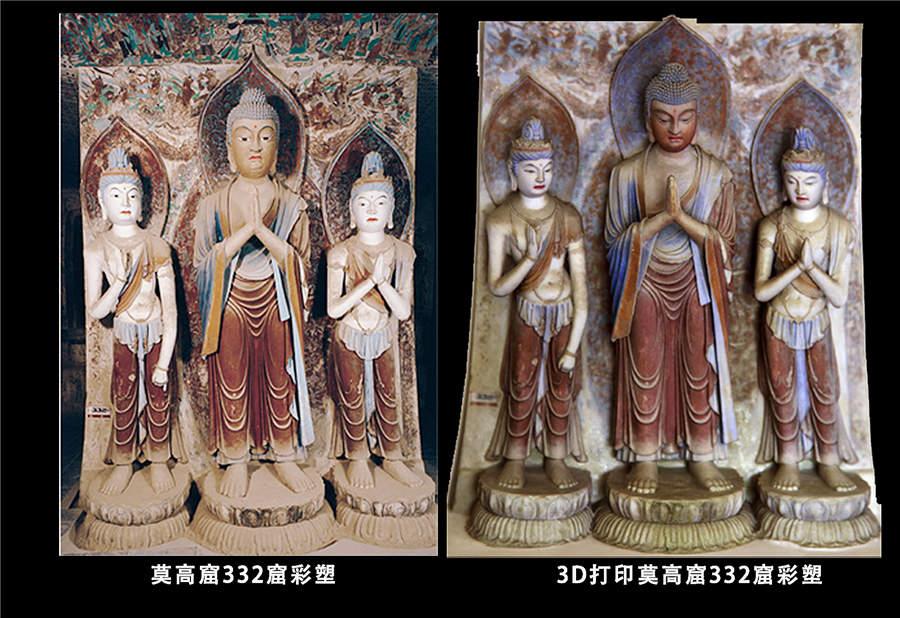
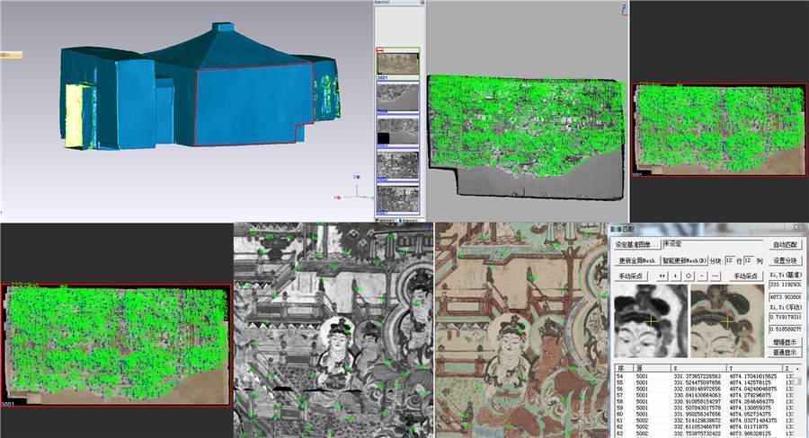
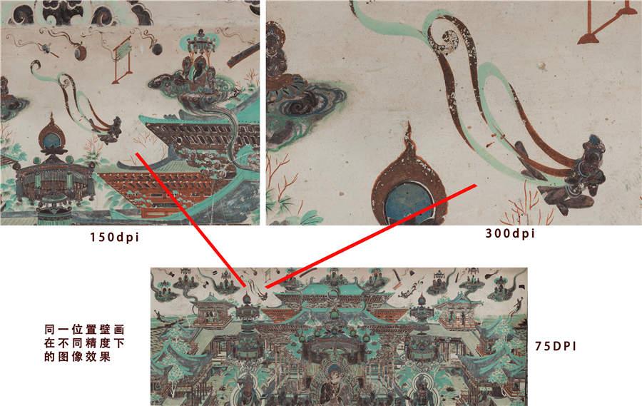
"Over the past three decades, especially in recent years, we have been developing digital technology that can be used not only to preserve detailed image materials about the relics, but also to help archaeologists record the finest information about the caves, and to help artists make facsimiles of the murals," says Wu Jian, director of the digital center of Dunhuang Academy, a research institute devoted to studying and preserving the Mogao Grottoes.
Cai Weitang, 59, an archaeologist, joined the academy in 1978. He is among the first to apply the digital technology in his work.
Earlier, all the field surveys and mapping were done by hand, Cai says.
"We had to erect scaffolding so we could measure the higher parts of the caves."
A typical old-fashioned tool case for an archaeologist in Dunhuang includes a compass, a tape, a set square, a steel tape, a plummet and a home-made square grid.
The grid, usually one or two meters long, consists of a handful of lines, fixed horizontally and vertically to form small squares of about 1 square centimeter.
In the past, when surveying and mapping a mural, Cai put the grid in front of it without touching it. For example, if he planned to copy the lines of an eye on the picture, he would find three points on the grid, jot them down and connect them with lines. In this way, you could slowly build a collection of the outlines of the murals and colored statues.


